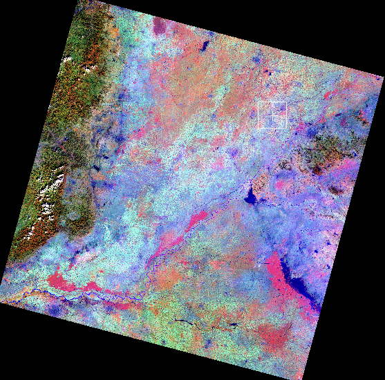
AWiFS image - 56 m resolution
North China Plain (Hebei, Shandong, Henan provinces)
October 2, 2006
Yellow river runs diagonally from SW to NE
Image below designated by white box (Hebei/Shandong border)
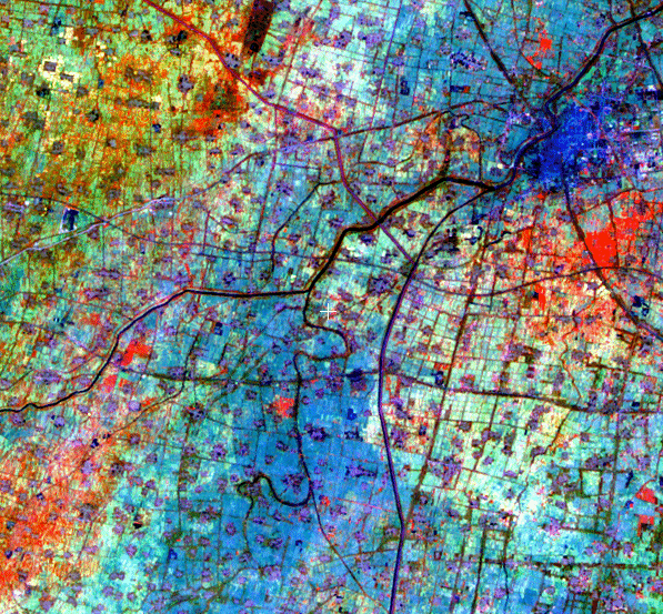
Blue areas represent wet soil, irrigated fields planted with winter wheat. Small dark red spots are individual villages. Dark blue lines are rivers and canals. White areas are bare ground. Shades of red, yellow, green and orange represent maturing/unharvested summer crops.
|