IPAD
International
Production
Assessment
Division
Toggle navigation
Reports and Briefs
Commodity Intelligence Reports (CIR)
World Agricultural Production (WAP) Circulars
Geospatial Data
Crop Explorer
Commodity Explorer
Global Agricultural Monitoring (GLAM)
Global Reservoirs and Lakes Monitor (G-REALM)
Global Agricultural & Disaster Assesment System (GADAS)
Geotag Photo Gallery
Tropical Cyclone Monitor Maps
Flood Monitor Maps
Tropical Cyclone Monitor
WMO Station Explorer
Crop Calendars and Production Maps
Country Summary
Crop Calendars
Crop Production Maps
Monthly Crop Stage and Harvest Calendars
Monthly Production and Trade Maps
Other Global USDA Reports
World Agricultural Supply and Demand Estimates (WASDE)
USDA Weekly Weather and Crop Bulletin (NASS/WAOB)
PSD Online
FAS Attache GAIN Reports
PS&D Market and Trade Data
Help
About Us
FAS Home
/
IPAD Home
/
Crop Explorer
/
Southern Africa
/
Congo (Kinshasa)
Crop Explorer
Toolbox
Home
Data Sources
Most Recent Data
Precipitation
Moving Precipitation and Cumulative Precipitation (Pentad)
Temperature
Average Temperature
Maximum Temperature
Minimum Temperature
Soil Moisture
Soil Moisture (CPC Leaky Bucket)
Percent Soil Moisture
Surface Soil Moisture
Subsurface Soil Moisture
Vegetation Index
NDVI (MODIS-Terra)
Growing Season
2024 Main Winter Crops (Apr - Dec)
2023 Main Summer Crops (Oct - May)
2023 Main Winter Crops (Apr - Dec)
2022 Main Summer Crops (Oct - May)
2022 Main Winter Crops (Apr - Dec)
2021 Main Summer Crops (Oct - May)
Additional Resources
Area, Yield and Production
WAP Production Briefs
Commodity Intelligence Reports
Country Summary
Geotag Photo Gallery
Crop Calendar
Crop Production Maps
2023 Main Winter Crops (Apr - Dec) —
(Last Chart Updated on 03/10/2024)
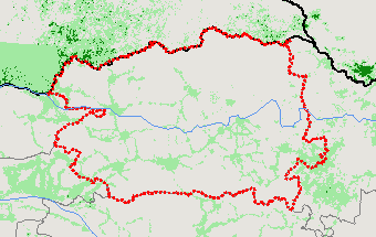
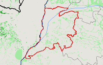
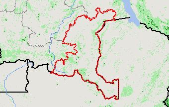
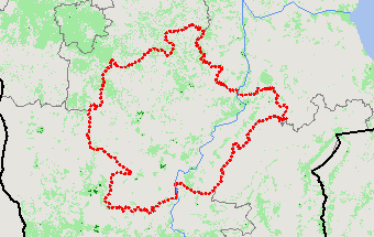
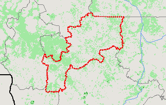
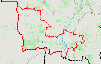
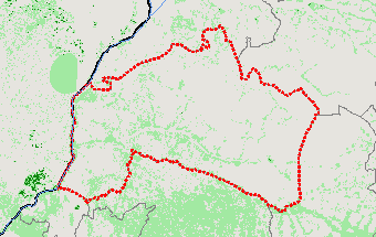
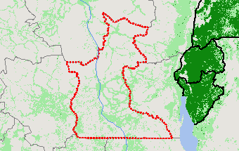
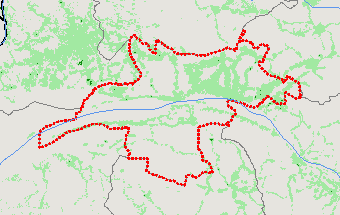
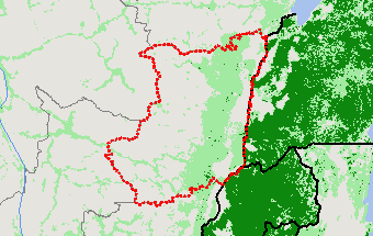
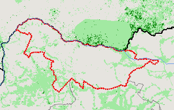
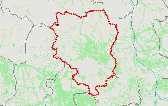
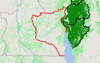
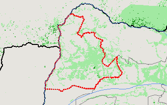
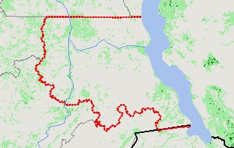
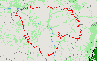
Subregions:
Select a Subregion
Bas-Uele
Équateur
Haut-Katanga
Haut-Lomami
Haut-Uele
Ituri
Kasaï
Kasaï-Central
Kasaï-Oriental
Kinshasa
Kongo-Central
Kwango
Kwilu
Lomami
Lualaba
Mai-Ndombe
Maniema
Mongala
Nord-Kivu
Nord-Ubangi
Sankuru
Sud-Kivu
Sud-Ubangi
Tanganyika
Tshopo
Tshuapa
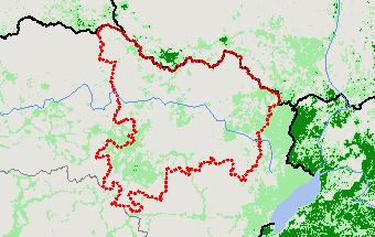
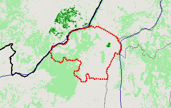
Bas-Uele
View Satellite Image
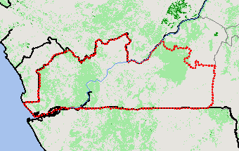
Équateur
View Satellite Image
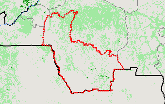
Haut-Katanga
View Satellite Image
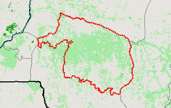
Haut-Lomami
View Satellite Image
Haut-Uele
View Satellite Image
Ituri
View Satellite Image
Kasaï
View Satellite Image
Kasaï-Central
View Satellite Image
Kasaï-Oriental
View Satellite Image
Kinshasa
View Satellite Image
Kongo-Central
View Satellite Image
Kwango
View Satellite Image
Kwilu
View Satellite Image
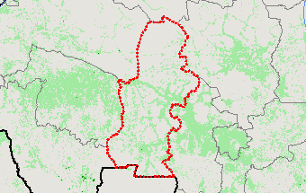
Lomami
View Satellite Image
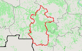
Lualaba
View Satellite Image
Mai-Ndombe
View Satellite Image
Maniema
View Satellite Image
Mongala
View Satellite Image
Nord-Kivu
View Satellite Image
Nord-Ubangi
View Satellite Image
Sankuru
View Satellite Image
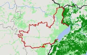
Sud-Kivu
View Satellite Image
Sud-Ubangi
View Satellite Image
Tanganyika
View Satellite Image
Tshopo
View Satellite Image
Tshuapa
View Satellite Image
Return
Top
Stay Connected
FAS on Twitter
Get Email Updates
FAS Home
USDA.gov
Economic Research Service
World Agricultural Outlook Board
Plain Writing
Trade Links
FOIA
Accessibility Statement
Privacy Policy
Non Discrimination Statement
Information Quality
USA.gov
White House