IPAD
International
Production
Assessment
Division
Toggle navigation
Reports and Briefs
Commodity Intelligence Reports (CIR)
World Agricultural Production (WAP) Circulars
Geospatial Data
Crop Explorer
Commodity Explorer
Global Agricultural Monitoring (GLAM)
Global Reservoirs and Lakes Monitor (G-REALM)
Global Agricultural & Disaster Assesment System (GADAS)
Geotag Photo Gallery
Tropical Cyclone Monitor Maps
Flood Monitor Maps
Tropical Cyclone Monitor
WMO Station Explorer
Crop Calendars and Production Maps
Country Summary
Crop Calendars
Crop Production Maps
Monthly Crop Stage and Harvest Calendars
Monthly Production and Trade Maps
Other Global USDA Reports
World Agricultural Supply and Demand Estimates (WASDE)
USDA Weekly Weather and Crop Bulletin (NASS/WAOB)
PSD Online
FAS Attache GAIN Reports
PS&D Market and Trade Data
Help
About Us
FAS Home
/
IPAD Home
/
Crop Explorer
/
South East Asia
Crop Explorer
Toolbox
Home
Data Sources
Most Recent Data
Precipitation
Moving Precipitation and Cumulative Precipitation (Pentad)
Consecutive Dry Days
Temperature
Average Temperature
Maximum Temperature
Minimum Temperature
Soil Moisture
Soil Moisture (CPC Leaky Bucket)
Percent Soil Moisture
Surface Soil Moisture
Subsurface Soil Moisture
Vegetation Index
NDVI (MODIS-Terra)
Growing Season
2024 Main Crops (Apr - Jan)
2023 Second Crops (Oct - Jul)
2023 Main Crops (Apr - Jan)
2022 Second Crops (Oct - Jul)
2022 Main Crops (Apr - Jan)
2021 Second Crops (Oct - Jul)
Additional Resources
Area, Yield and Production
WAP Production Briefs
Commodity Intelligence Reports
Brunei
Micronesia
Indonesia
Cambodia
Laos
Burma
Malaysia
Philippines
Singapore
Thailand
Timor-Leste
Vietnam
Country Summary
Geotag Photo Gallery
Crop Calendar
Crop Production Maps
Country
Brunei
Indonesia
Cambodia
Laos
Burma
Malaysia
Philippines
Thailand
Timor-Leste
Vietnam
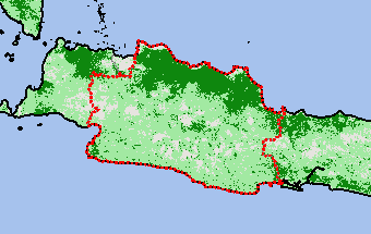
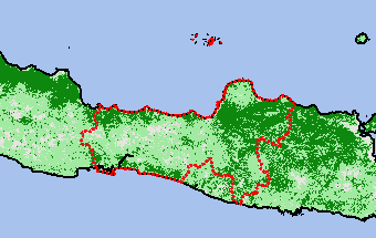
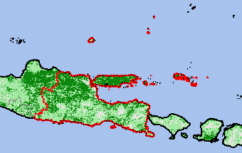
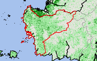
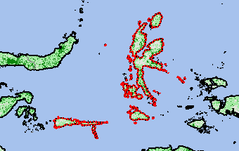
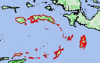
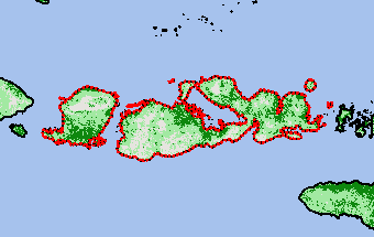
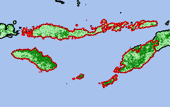
Indonesia
2022 Second Crops (Oct - Jul) —
(Last Chart Updated on 09/20/2024)
Order by:
Subregion
|
Rice
|
Corn
|
Peanut
|
Soybean
|
Cotton
|
Palm Oil
|
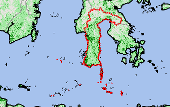
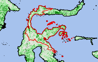
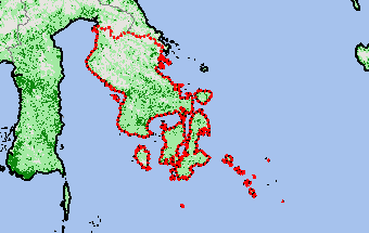
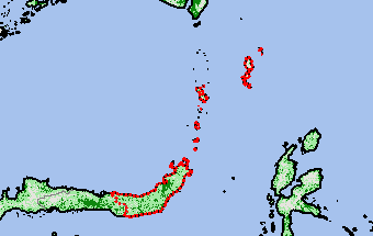
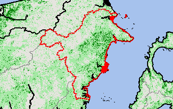
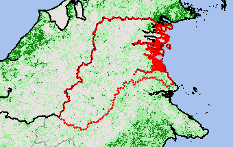
Subregions:
Select a Subregion
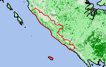
Aceh
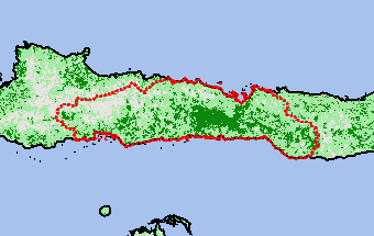
Bali
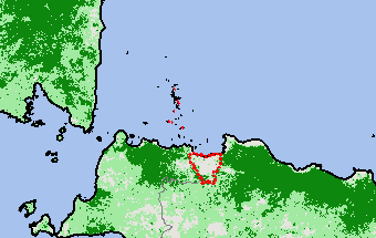
Bangka Belitung
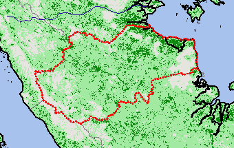
Banten
Bengkulu
Gorontalo
Jakarta Raya
Jambi
Jawa Barat
Jawa Tengah
Jawa Timur
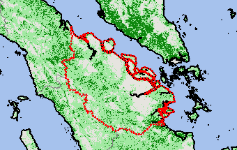
Kalimantan Barat
Kalimantan Selatan
Kalimantan Tengah
Kepulauan Riau
Lampung
Maluku Utara
Maluku
Nusa Tenggara Barat
Nusa Tenggara Timur
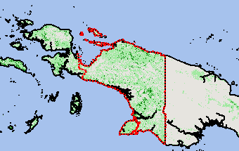
Papua Barat
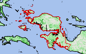
Papua
Riau
Sulawesi Barat
Sulawesi Selatan
Sulawesi Tengah
Sulawesi Tenggara
Sulawesi Utara
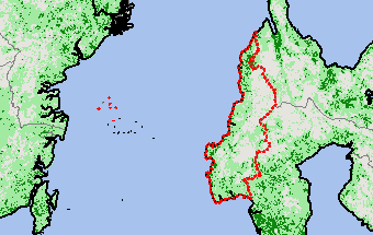
Sumatera Barat
Sumatera Selatan
Sumatera Utara
Yogyakarta
Kalimantan Timur
Kalimantan Utara
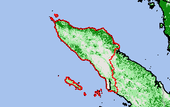
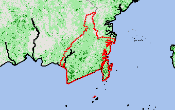
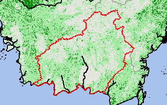
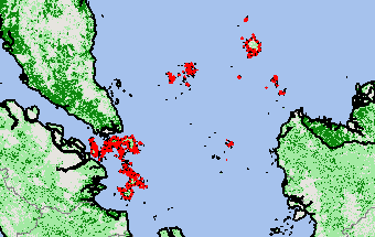
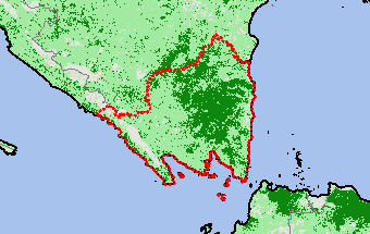
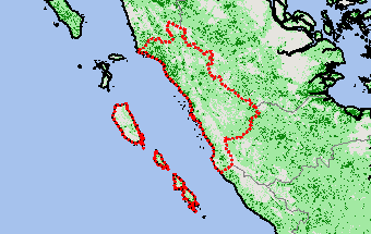
Aceh
View Satellite Image
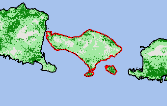
Bali
View Satellite Image
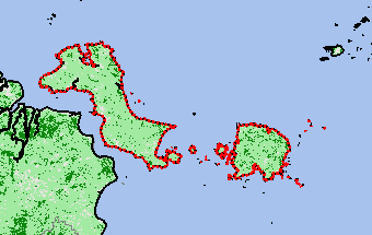
Bangka Belitung
View Satellite Image
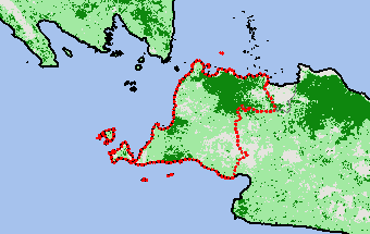
Banten
View Satellite Image
Bengkulu
View Satellite Image
Gorontalo
View Satellite Image
Jakarta Raya
View Satellite Image
Jambi
View Satellite Image
Jawa Barat
View Satellite Image
Jawa Tengah
View Satellite Image
Jawa Timur
View Satellite Image
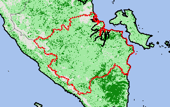
Kalimantan Barat
View Satellite Image
Kalimantan Selatan
View Satellite Image
Kalimantan Tengah
View Satellite Image
Kepulauan Riau
View Satellite Image
Lampung
View Satellite Image
Maluku Utara
View Satellite Image
Maluku
View Satellite Image
Nusa Tenggara Barat
View Satellite Image
Nusa Tenggara Timur
View Satellite Image
Papua Barat
View Satellite Image
Papua
View Satellite Image
Riau
View Satellite Image
Sulawesi Barat
View Satellite Image
Sulawesi Selatan
View Satellite Image
Sulawesi Tengah
View Satellite Image
Sulawesi Tenggara
View Satellite Image
Sulawesi Utara
View Satellite Image
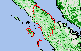
Sumatera Barat
View Satellite Image
Sumatera Selatan
View Satellite Image
Sumatera Utara
View Satellite Image
Yogyakarta
View Satellite Image
Kalimantan Timur
View Satellite Image
Kalimantan Utara
View Satellite Image
Top
Stay Connected
FAS on Twitter
Get Email Updates
FAS Home
USDA.gov
Economic Research Service
World Agricultural Outlook Board
Plain Writing
Trade Links
FOIA
Accessibility Statement
Privacy Policy
Non Discrimination Statement
Information Quality
USA.gov
White House