IPAD
International
Production
Assessment
Division
Toggle navigation
Reports and Briefs
Commodity Intelligence Reports (CIR)
World Agricultural Production (WAP) Circulars
Geospatial Data
Crop Explorer
Commodity Explorer
Global Agricultural Monitoring (GLAM)
Global Reservoirs and Lakes Monitor (G-REALM)
Global Agricultural & Disaster Assesment System (GADAS)
Geotag Photo Gallery
Tropical Cyclone Monitor Maps
Flood Monitor Maps
Tropical Cyclone Monitor
WMO Station Explorer
Crop Calendars and Production Maps
Country Summary
Crop Calendars
Crop Production Maps
Monthly Crop Stage and Harvest Calendars
Monthly Production and Trade Maps
Other Global USDA Reports
World Agricultural Supply and Demand Estimates (WASDE)
USDA Weekly Weather and Crop Bulletin (NASS/WAOB)
PSD Online
FAS Attache GAIN Reports
PS&D Market and Trade Data
Help
About Us
FAS Home
/
IPAD Home
/
Crop Explorer
/
Europe
/
France
Crop Explorer
Toolbox
Home
Data Sources
Most Recent Data
Precipitation
Moving Precipitation and Cumulative Precipitation (Pentad)
Snow Depth and Snow Cover
Temperature
Average Temperature
Maximum Temperature
Minimum Temperature
Soil Moisture
Soil Moisture (CPC Leaky Bucket)
Percent Soil Moisture
Surface Soil Moisture
Subsurface Soil Moisture
Vegetation Index
NDVI (MODIS-Terra)
Growing Season
2024 Summer Crop Season (Mar - Oct)
2023 Winter Crop Season (Sep - Aug)
2023 Summer Crop Season (Mar - Oct)
2022 Winter Crop Season (Sep - Aug)
2022 Summer Crop Season (Mar - Oct)
2021 Winter Crop Season (Sep - Aug)
Additional Resources
Area, Yield and Production
WAP Production Briefs
Commodity Intelligence Reports
Country Summary
Geotag Photo Gallery
Crop Production Maps
Crop Calendar
2023 Summer Crop Season (Mar - Oct) —
(Last Chart Updated on 06/16/2024)
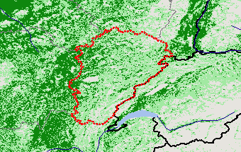
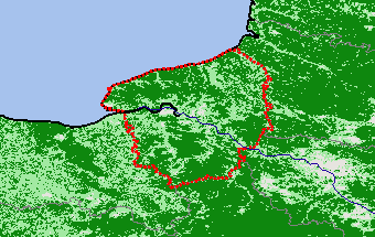
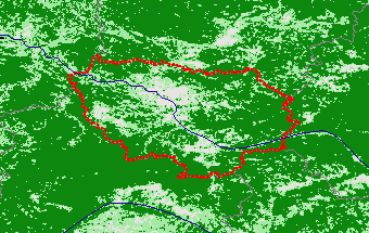
Subregions:
Select a Subregion
Alsace
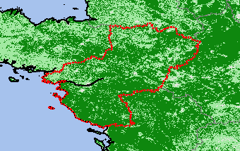
Aquitaine
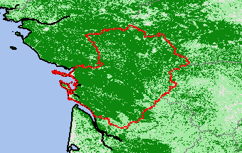
Auvergne
Basse-Normandie
Bourgogne
Centre — Val de Loire
Champagne-Ardenne
Corse
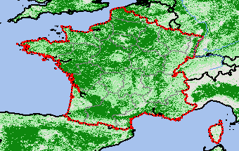
France
Franche-Comté
Haute-Normandie
Ile-de-France
Languedoc-Roussillon
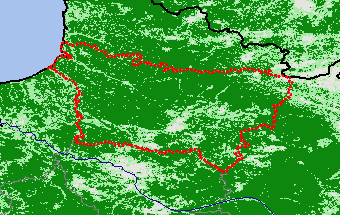
Limousin
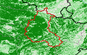
Lorraine
Midi-Pyrénées
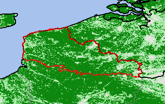
Nord-Pas de Calais
Pays de la Loire
Picardie
Poitou-Charentes
Provence-Alpes-Côte d’Azur
Rhône-Alpes
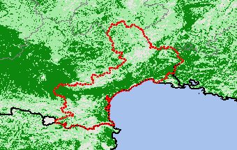
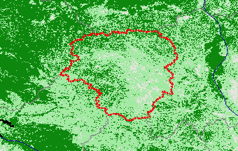
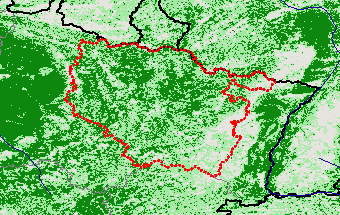
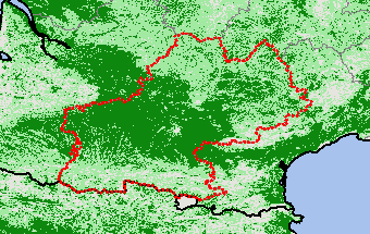
Alsace
View Satellite Image
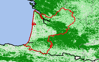
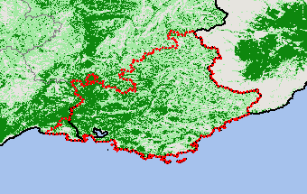
Aquitaine
View Satellite Image
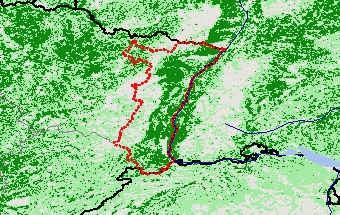
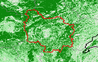
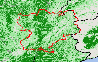
Auvergne
View Satellite Image
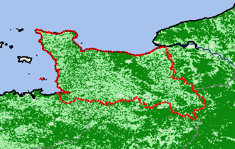
Basse-Normandie
View Satellite Image
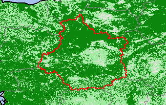
Bourgogne
View Satellite Image
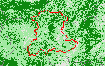
Centre — Val de Loire
View Satellite Image
Champagne-Ardenne
View Satellite Image
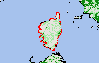
Corse
View Satellite Image
France
View Satellite Image
Franche-Comté
View Satellite Image
Haute-Normandie
View Satellite Image
Ile-de-France
View Satellite Image
Languedoc-Roussillon
View Satellite Image
Limousin
View Satellite Image
Lorraine
View Satellite Image
Midi-Pyrénées
View Satellite Image
Nord-Pas de Calais
View Satellite Image
Pays de la Loire
View Satellite Image
Picardie
View Satellite Image
Poitou-Charentes
View Satellite Image
Provence-Alpes-Côte d’Azur
View Satellite Image
Rhône-Alpes
View Satellite Image
Return
Top
Stay Connected
FAS on Twitter
Get Email Updates
FAS Home
USDA.gov
Economic Research Service
World Agricultural Outlook Board
Plain Writing
Trade Links
FOIA
Accessibility Statement
Privacy Policy
Non Discrimination Statement
Information Quality
USA.gov
White House