IPAD
International
Production
Assessment
Division
Toggle navigation
Reports and Briefs
Commodity Intelligence Reports (CIR)
World Agricultural Production (WAP) Circulars
Geospatial Data
Crop Explorer
Commodity Explorer
Global Agricultural Monitoring (GLAM)
Global Reservoirs and Lakes Monitor (G-REALM)
Global Agricultural & Disaster Assesment System (GADAS)
Geotag Photo Gallery
Tropical Cyclone Monitor Maps
Flood Monitor Maps
Tropical Cyclone Monitor
WMO Station Explorer
Crop Calendars and Production Maps
Country Summary
Crop Calendars
Crop Production Maps
Monthly Crop Stage and Harvest Calendars
Monthly Production and Trade Maps
Other Global USDA Reports
World Agricultural Supply and Demand Estimates (WASDE)
USDA Weekly Weather and Crop Bulletin (NASS/WAOB)
PSD Online
FAS Attache GAIN Reports
PS&D Market and Trade Data
Help
About Us
FAS Home
/
IPAD Home
/
Crop Explorer
/
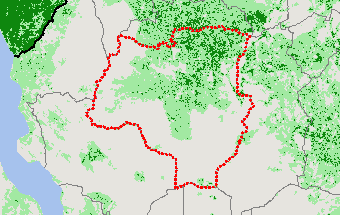
Southern Africa
/
Tanzania
Crop Explorer
Toolbox
Home
Data Sources
Most Recent Data
Precipitation
Moving Precipitation and Cumulative Precipitation (Pentad)
Temperature
Average Temperature
Maximum Temperature
Minimum Temperature
Soil Moisture
Soil Moisture (CPC Leaky Bucket)
Percent Soil Moisture
Surface Soil Moisture
Subsurface Soil Moisture
Vegetation Index
NDVI (MODIS-Terra)
Growing Season
2024 Main Winter Crops (Apr - Dec)
2023 Main Summer Crops (Oct - May)
2023 Main Winter Crops (Apr - Dec)
2022 Main Summer Crops (Oct - May)
2022 Main Winter Crops (Apr - Dec)
2021 Main Summer Crops (Oct - May)
Additional Resources
Area, Yield and Production
WAP Production Briefs
Commodity Intelligence Reports
Country Summary
Geotag Photo Gallery
Crop Calendar
Crop Production Maps
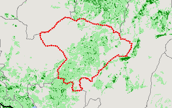
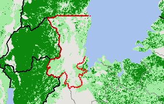
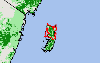
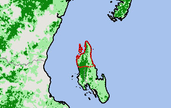
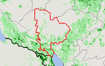
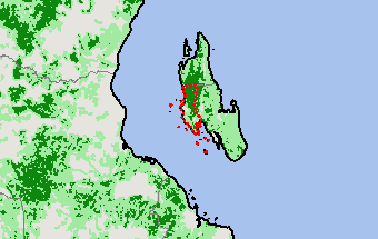
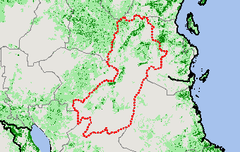
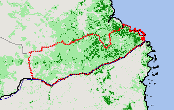
2022 Main Winter Crops (Apr - Dec) —
(Last Chart Updated on 06/30/2024)
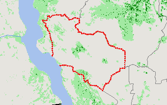
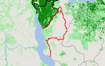
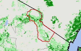
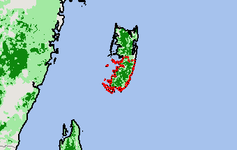
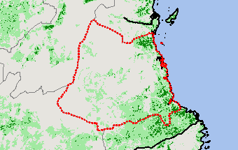
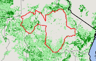
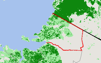
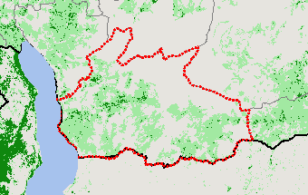
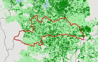
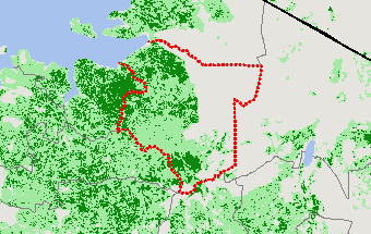
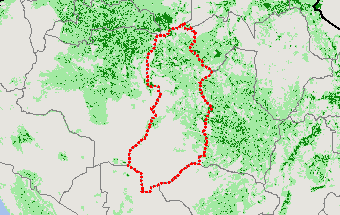
Subregions:
Select a Subregion
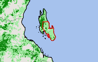
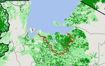
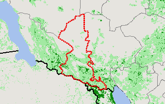
Arusha
Dar es Salaam
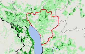
Dodoma
Geita
Iringa
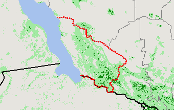
Kagera
Kaskazini Pemba
Kaskazini Unguja
Katavi
Kigoma
Kilimanjaro
Kusini Pemba
Kusini Unguja
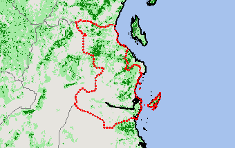
Lindi
Manyara
Mara
Mbeya
Mjini Magharibi
Morogoro
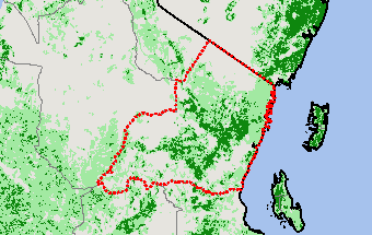
Mtwara
Mwanza
Njombe
Pwani
Rukwa
Ruvuma
Shinyanga
Simiyu
Singida
Songwe
Tabora
Tanga
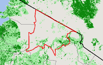
Arusha
View Satellite Image
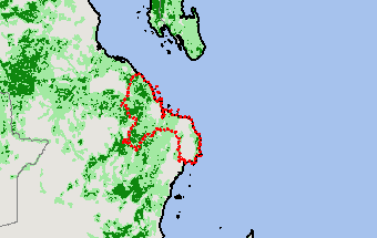
Dar es Salaam
View Satellite Image
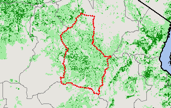
Dodoma
View Satellite Image
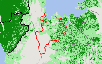
Geita
View Satellite Image
Iringa
View Satellite Image
Kagera
View Satellite Image
Kaskazini Pemba
View Satellite Image
Kaskazini Unguja
View Satellite Image
Katavi
View Satellite Image
Kigoma
View Satellite Image
Kilimanjaro
View Satellite Image
Kusini Pemba
View Satellite Image
Kusini Unguja
View Satellite Image
Lindi
View Satellite Image
Manyara
View Satellite Image
Mara
View Satellite Image
Mbeya
View Satellite Image
Mjini Magharibi
View Satellite Image
Morogoro
View Satellite Image
Mtwara
View Satellite Image
Mwanza
View Satellite Image
Njombe
View Satellite Image
Pwani
View Satellite Image
Rukwa
View Satellite Image
Ruvuma
View Satellite Image
Shinyanga
View Satellite Image
Simiyu
View Satellite Image
Singida
View Satellite Image
Songwe
View Satellite Image
Tabora
View Satellite Image
Tanga
View Satellite Image
Return
Top
Stay Connected
FAS on Twitter
Get Email Updates
FAS Home
USDA.gov
Economic Research Service
World Agricultural Outlook Board
Plain Writing
Trade Links
FOIA
Accessibility Statement
Privacy Policy
Non Discrimination Statement
Information Quality
USA.gov
White House