IPAD
International
Production
Assessment
Division
Toggle navigation
Reports and Briefs
Commodity Intelligence Reports (CIR)
World Agricultural Production (WAP) Circulars
Geospatial Data
Crop Explorer
Commodity Explorer
Global Agricultural Monitoring (GLAM)
Global Reservoirs and Lakes Monitor (G-REALM)
Global Agricultural & Disaster Assesment System (GADAS)
Geotag Photo Gallery
Tropical Cyclone Monitor Maps
Flood Monitor Maps
Tropical Cyclone Monitor
WMO Station Explorer
Crop Calendars and Production Maps
Country Summary
Crop Calendars
Crop Production Maps
Monthly Crop Stage and Harvest Calendars
Monthly Production and Trade Maps
Other Global USDA Reports
World Agricultural Supply and Demand Estimates (WASDE)
USDA Weekly Weather and Crop Bulletin (NASS/WAOB)
PSD Online
FAS Attache GAIN Reports
PS&D Market and Trade Data
Help
About Us
FAS Home
/
IPAD Home
/
Crop Explorer
/
Western Africa
Crop Explorer
Toolbox
Home
Data Sources
Most Recent Data
Precipitation
Moving Precipitation and Cumulative Precipitation (Pentad)
Temperature
Average Temperature
Maximum Temperature
Minimum Temperature
Soil Moisture
Soil Moisture (CPC Leaky Bucket)
Percent Soil Moisture
Surface Soil Moisture
Subsurface Soil Moisture
Vegetation Index
NDVI (MODIS-Terra)
Growing Season
2024 Long Rains (Mar - Dec)
2023 Long Rains and Dry Season (July - Feb)
2023 Long Rains (Mar - Dec)
2022 Long Rains and Dry Season (July - Feb)
2022 Long Rains (Mar - Dec)
2021 Long Rains and Dry Season (July - Feb)
Additional Resources
Area, Yield and Production
WAP Production Briefs
Commodity Intelligence Reports
Benin
Burkina Faso
Central African Republic
Côte d'Ivoire
Cameroon
Congo (Brazzaville)
Gabon
Ghana
Guinea
Gambia
Guinea-Bissau
Equatorial Guinea
Liberia
Mali
Mauritania
Niger
Nigeria
Senegal
Sierra Leone
Sao Tome and Principe
Chad
Togo
Country Summary
Geotag Photo Gallery
Crop Calendar
Crop Production Maps
Country
Benin
Burkina Faso
Central African Republic
Côte d'Ivoire
Cameroon
Congo (Brazzaville)
Gabon
Ghana
Guinea
Gambia
Guinea-Bissau
Equatorial Guinea
Liberia
Mali
Mauritania
Niger
Nigeria
Senegal
Sierra Leone
Sao Tome and Principe
Chad
Togo
Nigeria
2024 Long Rains (Mar - Dec) —
(Last Chart Updated on 06/16/2024)
Order by:
Subregion
|
Wheat
|
Rice
|
Corn
|
Millet
|
Sorghum
|
Peanut
|
Soybean
|
Cotton
|
Palm Oil
|
Subregions:
Select a Subregion
Abia
Adamawa
Akwa Ibom
Anambra
Bauchi
Bayelsa
Benue
Borno
Cross River
Delta
Ebonyi
Edo
Ekiti
Enugu
Federal Capital Territory
Gombe
Imo
Jigawa
Kaduna
Kano
Katsina
Kebbi
Kogi
Kwara
Lagos
Nasarawa
Niger
Ogun
Ondo
Osun
Oyo
Plateau
Rivers
Sokoto
Taraba
Yobe
Zamfara
Abia
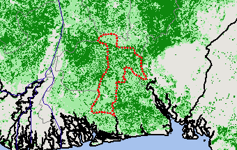
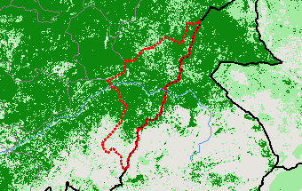
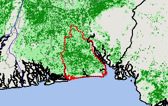
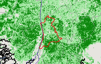
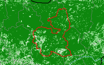
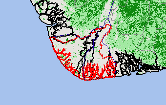
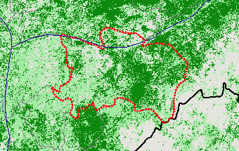
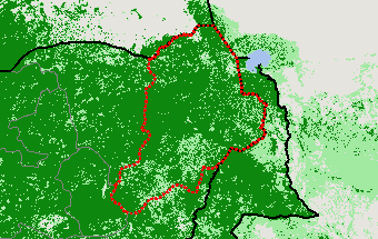
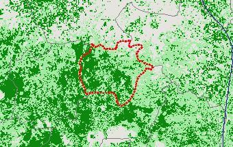
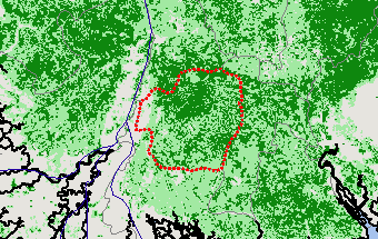
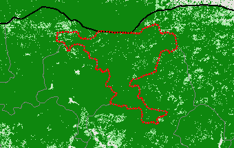
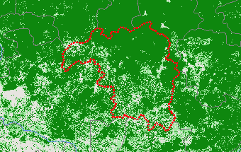
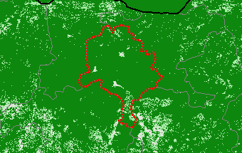
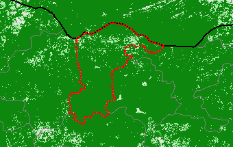
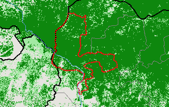
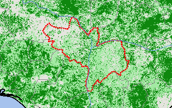
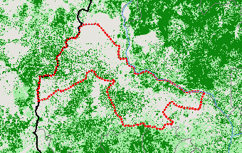
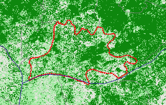
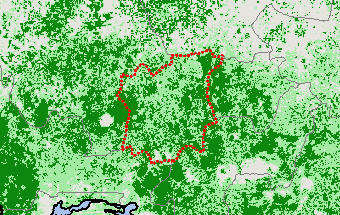
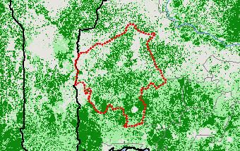
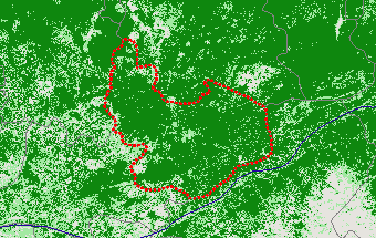
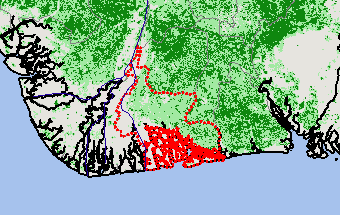
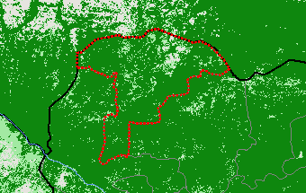
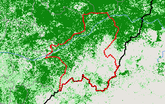
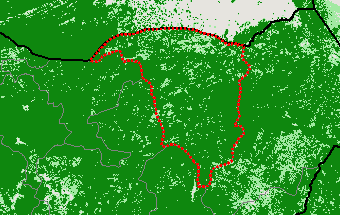
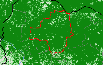
View Satellite Image
Adamawa
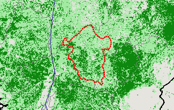
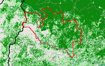
View Satellite Image
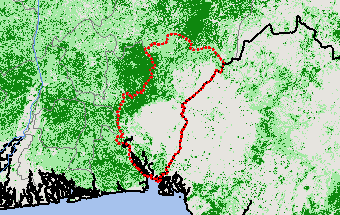
Akwa Ibom
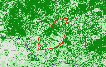
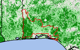
View Satellite Image
Anambra
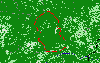
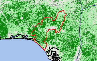
View Satellite Image
Bauchi
View Satellite Image
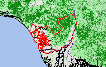
Bayelsa
View Satellite Image
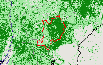
Benue
View Satellite Image
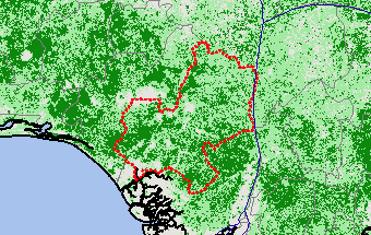
Borno
View Satellite Image
Cross River
View Satellite Image
Delta
View Satellite Image
Ebonyi
View Satellite Image
Edo
View Satellite Image
Ekiti
View Satellite Image
Enugu
View Satellite Image
Federal Capital Territory
View Satellite Image
Gombe
View Satellite Image
Imo
View Satellite Image
Jigawa
View Satellite Image
Kaduna
View Satellite Image
Kano
View Satellite Image
Katsina
View Satellite Image
Kebbi
View Satellite Image
Kogi
View Satellite Image
Kwara
View Satellite Image
Lagos
View Satellite Image
Nasarawa
View Satellite Image
Niger
View Satellite Image
Ogun
View Satellite Image
Ondo
View Satellite Image
Osun
View Satellite Image
Oyo
View Satellite Image
Plateau
View Satellite Image
Rivers
View Satellite Image
Sokoto
View Satellite Image
Taraba
View Satellite Image
Yobe
View Satellite Image
Zamfara
View Satellite Image
Top
Stay Connected
FAS on Twitter
Get Email Updates
FAS Home
USDA.gov
Economic Research Service
World Agricultural Outlook Board
Plain Writing
Trade Links
FOIA
Accessibility Statement
Privacy Policy
Non Discrimination Statement
Information Quality
USA.gov
White House